Bailiehill Fort
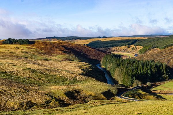
A magnificent hill fort, high above the Esk.
1. Boonies: A Romano-British farmstead
2. Bailiehill: A Magnificent hill citadel
3. The Knowe: A fortlet, farm or fortified croft
4. Castle O’er: The most superb of the Esk Valley hill forts
5. Over Rig: A unique and perplexing site – fascinating but mysterious
6. Bessie’s Hill: A fort and enclosure
7. The Loupin’ Stanes: A small but impressive stone ring
8. The Girdle Stanes: A large stone ring
9. King Schaw’s Grave: A burial kist, once buried under a vast cairn
As you explore this site you’ll find features resembling those of Castle O’er about 3K to NW. Were they both at one stage frontier fortresses? This may have been “Debatable Land” between the territories of the Novantae to the west and their neighbours the Selgovae in what are now the Borders. There were probably clashes from time to time.
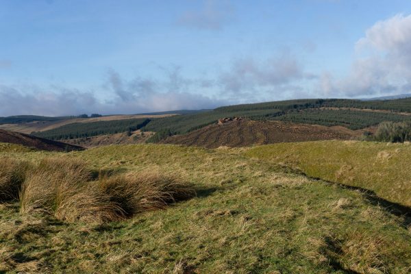
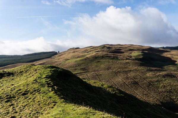
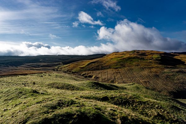
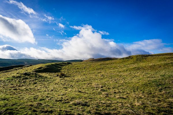
The first sizeable earthworks on the way up are probably the most recent, comparable with the ‘annexe’ earthworks at Castle O’er. They may have been used to for cattle ranching in the later life of the site. Looking over the wall, you’ll see that, because of agriculture over the centuries, it’s now impossible to trace the continuation of the ‘annexe’ earthworks in the two fields to the east of the site.
Moving on up to the summit, you can see that it is crowded with circular house scoops or platforms of two kinds:
larger buildings defined by a ditch and outer wall foundations -‘ring-ditch houses’.
simple round platforms on which wooden houses were built. Smaller than the ‘ring-ditch houses’.
As at Castle O’er, all of these dwellings would not be in use at the same time. Pace out their diameters – they vary between about 5 and 10 metres, so that the larger houses had about 78 square metres of useful space. Compare that with your own home, and guess at how many of a family might have used such a house. There don’t seem to be any traces of huts or roundhouses in the ‘annexe’.
Look for patches of rushes, which might indicate that this hilltop fort had a well. Otherwise, when the site was lived in, it would be a daily trek down to the Mill Burn for water.
The view is magnificent. In particular, note that you can see the fortifications of Castle O’er to the NNW: the two strongholds would keep a watchful eye on each other. They were both active well into the Roman occupation, and there’s no suggestion that either was subdued.
From the top, walk round the inner ramparts. As at Castle O’er, it’s suggested that the inner enclosure (marked ‘III’) is later than the outer one (marked ‘II’). The entrance, from the east, is easy to find.
It’s likely that this fortress was active for 100 or more years before the Roman occupation and continued to have strategic importance during and after it.
As at Castle O’er the practical difficulties of hilltop life would have to be balanced against the impregnability and prestige of the site.
There are no records of excavations of this site.


