The Knowe
The Knowe in its period of prehistory can't be firm, but its probable relationship with Castle O'er implies activity in the first century AD.
1. Boonies: A Romano-British farmstead
2. Bailiehill: A Magnificent hill citadel
3. The Knowe: A fortlet, farm or fortified croft
4. Castle O’er: The most superb of the Esk Valley hill forts
5. Over Rig: A unique and perplexing site – fascinating but mysterious
6. Bessie’s Hill: A fort and enclosure
7. The Loupin’ Stanes: A small but impressive stone ring
8. The Girdle Stanes: A large stone ring
9. King Schaw’s Grave: A burial kist, once buried under a vast cairn
This little defended farm or croft is comparable in size to Boonies further down the valley, and could well have supported the same kind of farming activities.
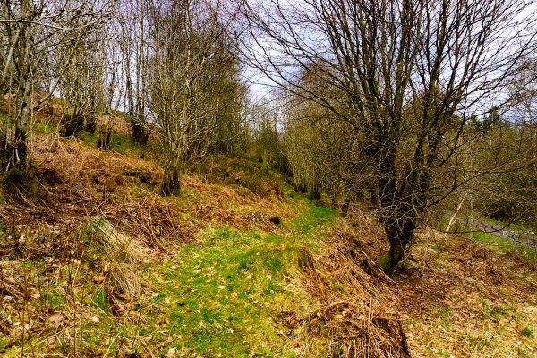
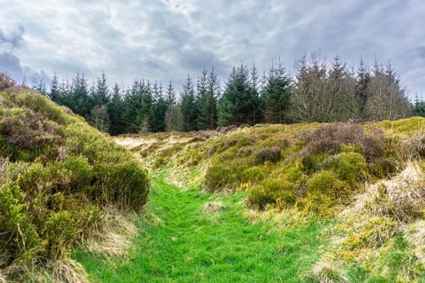
But considering the small size of the enclosure, these earthworks are really immense, with double ramparts in places, either side of a deep ditch. They’re much more like those of Castle O’er than the much smaller “defences” at Boonies. Clearly they weren’t intended just to keep livestock in or out! So they must have been built to keep enemies out and to impress, overawe and deter these same enemies or any passers-by – including Romans?
Imagine the ramparts about half as high again with some form of palisade built into the structure, and the ditch likewise half as deep again, and this may give you an idea of the site when it was occupied. Where do you think the entrance might have been?
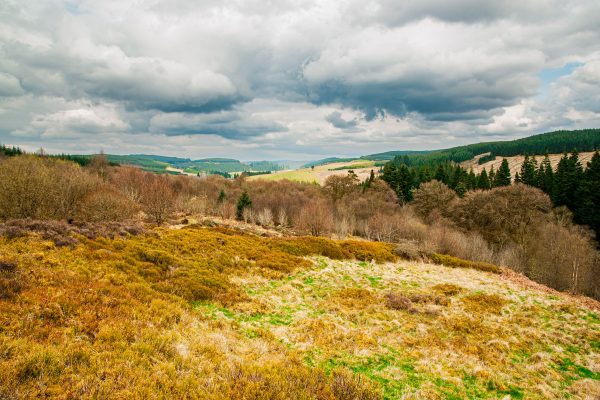
On the ground as we see it now, there is much more fortification uphill than downhill. This may be because the original builders meant it to be like that because they didn’t expect attacks from downhill, relying only on the advantage given them by the slope: or circumstances prevented them carrying out their plan to the full: or the downhill defences may have been subject to little landslides brought about by wind rain and frost and over the centuries: or they may have been “slighted” (razed to the ground) by hostile action at some time in the past.
There is no record of excavation, so we don’t know for sure when and for how long the site was in use. However, it’s reasonable to suppose that it and Bessie’s Hill Fort farther up valley may have been outposts of the Castle O’er citadel.
Without excavation, setting The Knowe in its period of prehistory can’t be firm, but its probable relationship with Castle O’er implies activity in the first century AD.
It is thought that latterly one of Castle O’er’s activities was cattle ranching. So we must wonder whether and how The Knowe might have had a role in this activity – possibly a defended outpost or lookout station of the ranching enterprise from which forays might be launched against rustlers?
The RCAHMS plan shows the ramparts and ditches surrounding hut platforms uphill with a “yard” downhill, It is suggested that the outer rampart and ditch shown as B were an earlier part of the site’s history than the later enclosure shown as A. Hut circles are indicated but it is admittedly difficult to for the archaeologically untrained to confirm these by eye or by the feel of the ground underfoot (sometimes you can get clues to underground features from the firmness or softness of the ground). Huts would most likely have been “roundhouses” as at Boonies. The hut site labelled C, in the “yard” again as at Boonies sitting astride the ramparts, is perhaps from the last phase of occupation, but that’s conjectural!
There are no records of excavations of this site.


