Bessie's Hill Fort and Enclosure
Field archaeologists have suggested the possibility of from two to seven round timber-built houses.
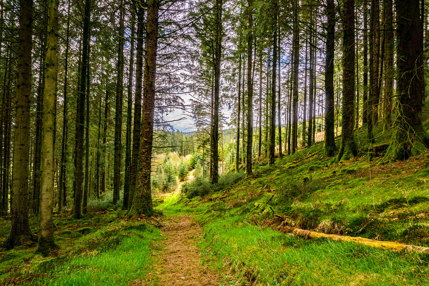
Use the Forestry Commission car park. A gentle walk to the sites follows the forest track from the car park winding up the hillside, taking first right following green poles.
Alternatively you can follow the pleasant well-defined forest footpath which starts about 25 metres from the public road diagonally up the hillside northwards through the remains of the conifer forest. In about 300m this ends at a flight of steps bringing you out on to a forestry track from which you can explore the earlier Bessie’s Hill Fort (down the track to the SE) and the later Bessie’s Hill Settlement (uphill to W of the track).
NY250 954

///towel.vertical.friends
1. Boonies: A Romano-British farmstead
2. Bailiehill: A Magnificent hill citadel
3. The Knowe: A fortlet, farm or fortified croft
4. Castle O’er: The most superb of the Esk Valley hill forts
5. Over Rig: A unique and perplexing site – fascinating but mysterious
6. Bessie’s Hill: A fort and enclosure
7. The Loupin’ Stanes: A small but impressive stone ring
8. The Girdle Stanes: A large stone ring
9. King Schaw’s Grave: A burial kist, once buried under a vast cairn
Please note: Bessie’s Hill section of the Prehistoric Trail that will be closed for 3 months from 30th September 2023 due to the clearance of Windblown trees.
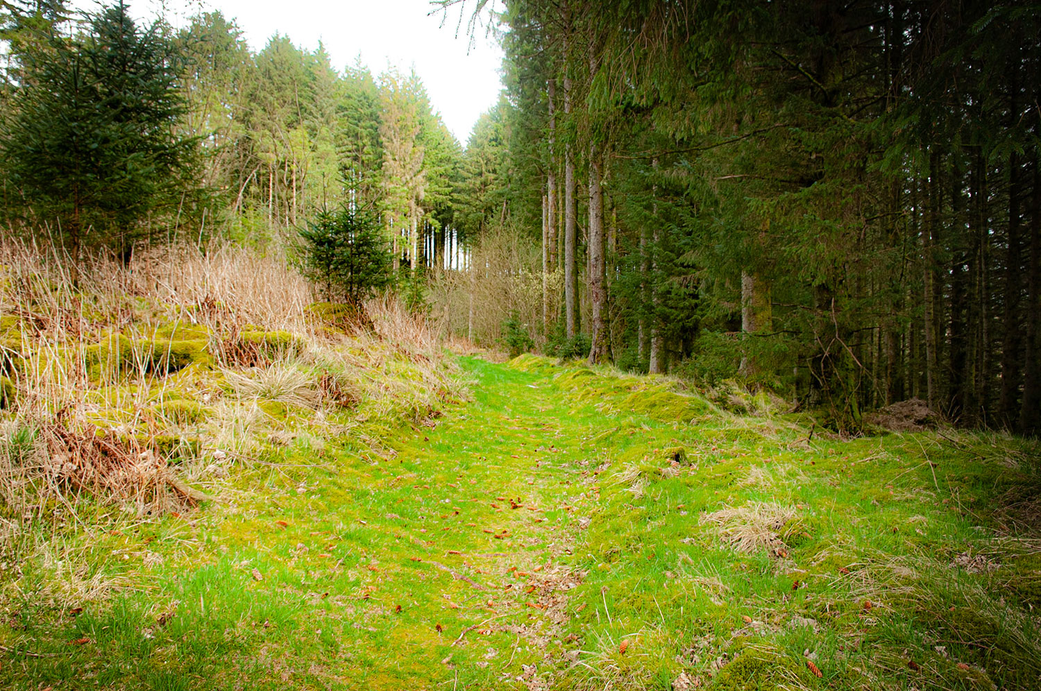
If you’ve taken the forest path, walk about 100m S from the steps to a green post which guides you to the easiest path back into the forestry to your left, towards the entrance to the fort.
On the south side of the site you’ll find the Archaeosights interpretation panel with its commentary on the importance of imposing defences as showing power and affluence.
Bessie’s Hill Fort will look familiar if you’ve followed the Trail clockwise and have already visited Bailiehill, The Knowe and Castle O’er. Like The Knowe, it is in a very defendable position atop a steep slope on the shoulder of the high ground over which Castle O’er held sway.
Recent felling around it means that we can now see the commanding view enjoyed by the users of the fort, and a short walk up the track brings you to a panorama sweeping round to cover most of the upper valley including the two stone circles, which of course date from a much earlier period in the valley’s history.
Further south the view would have been towards the prominent cairn covering King Schaw’s Grave, again from an earlier epoch.
This fort must have served as a lookout post for the Castle O’er ‘estate’. Keen eyed watchers would miss very little that went on in the upper valley, and would be able to send a runner along the ridge to Castle O’er in good time for reinforcements to be on their way to help deal with any threats approaching down the valley.
The pattern with fortified holdings elsewhere in the valley is for the entrance to open onto the yard, with the roundhouses on the far side from it. Find the entrance (SE) and look for evidence of a similar pattern here. Tussocky grass makes this difficult. A patch of rushes may indicate where at one time a well existed.
As at The Knowe, imagine the ramparts about half as high again with some form of palisade built into the structure, and the ditch half as deep again, and this may give you an idea of the site when it was fully defended. Again as at the Knowe there is little fortification overlooking the abrupt slope down towards the Esk. Only the most determined enemies would attack up this slope!
Bessie’s Hill Settlement
This lightly defended settlement is only a short distance from the impressively well-defended Bessie’s Hill Fort. Perhaps in more peaceful times the users decided not to alter the heavily defended fort to a new less defensive use, but instead to do a ‘new build’ enclosing a greater area, with less emphasis on defence.
This settlement’s straight-line earthworks are unusual. As you follow the faint path upwards opposite the steps to enter the enclosure you cross a rampart running N and S that is rectilinear for about 30m. There’s another straight stretch round the corner to the S. Elsewhere, boundary earthworks are gently curved.
By and large in Britain, circular or oval enclosures seem to date from the Iron Age, while rectilinear enclosures – areas enclosed by straight-line earthworks – are regarded as being from Roman or post-Roman times. This isn’t always the case, and it probably isn’t the case here. It’s possible that Castle O’er and its estate remained defended and unconquered during the Roman occupation. Thus the rectilinear elements of this settlement might be evidence of pre-Roman or Roman influence, but not of Roman domination.
Field archaeologists have suggested the possibility of from two to seven round timber-built houses.
From the main entrance at the lowest point, there is a great view of the entire upper Esk Valley.
There is no record of excavation at either of these two sites.

