Calfield Rig and Mid Hill
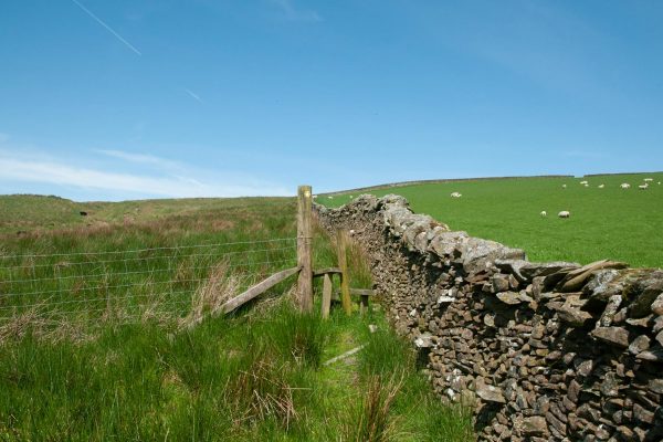
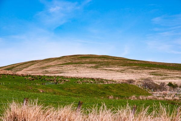
The central part of the walk follows a long curving ridge providing ever changing views.
Walk 9: Calfield Rig and Mid Hill
Starting point : The Kilngreen Car Park, Townhead, Langholm DG13 0EP
Walk 1: Becks and Gaskells
Walk 2: Langfauld and Potholm
Walk 3: Duchess Bridge & North Lodge
Walk 4 : Potholm & Castle Hill
Walk 5: Warb Law
Walk 6: Arkleton
Walk 7: Jenny Noble’s Gill
Walk 8: Target Burn and Whita Hill
Walk 9: Calfield Rig and Mid Hill
Walk 10: Tarras Water and Whita Hill
Walk 11: Old Irvine
Walk 12: Canonbie
Walk 13: Moorland Walk
Walk 14: Meikledale
The walk starts through woodland and unfolds its treats as you go along. Because of the circular nature of the walk, the views are constantly changing. Underfoot going is generally good but there are some quite wet bits in the bottoms of the little dips of the ridge.
From the car park (Grid ref. NY363846) walk into the town and turn right across the Town Bridge. Take the first left over the bridge and follow the River Esk, turning right at the Church and following the Wauchope until you turn left across a bridge into the Buccleuch Park. In the park take the right-hand path and climb the steps leading out of the park. Go through the hedge and turn left, then in 20 metres turn right on Gaskells Walk. Follow this fine path as it swings around to run above the Wauchope Water through mature woodland. For part of the way, the river is in a miniature gorge below you.
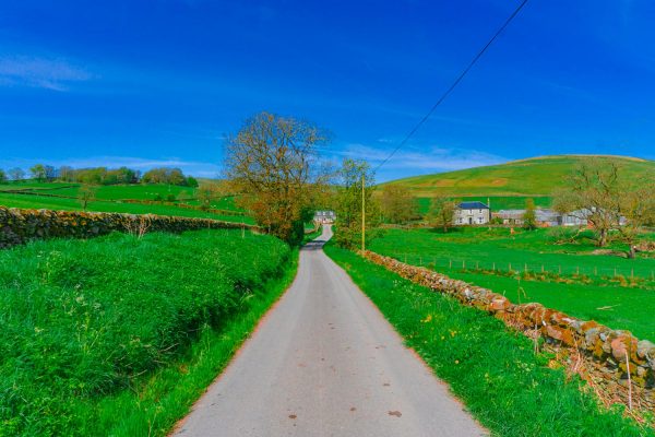
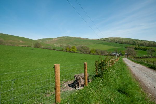
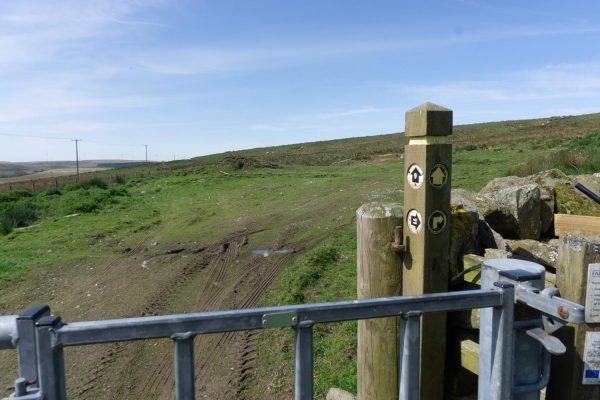
At the end of the path, turn right on the road and left on the minor road leading to Becks Farm. Follow this road as it climbs around several bends. The hill section of this walk gradually comes into view ahead and to the right. At Becks, turn left on a track. Pass the access track to Calfield and continue for a further kilometre, the track getting a little rougher. At the end of the track, go through the gate and turn right to start climbing close to the dyke.
There is no clear path and some of the ground is wet, but a way can be found. At the top of the dyke, go over the stile and continue on the open hill, keeping to the highest ground and climbing steadily north-west to reach the top of Calfield Rig at 319 metres (1045 feet). There are already extensive views, especially to the south. Keep on the ridge heading north. The ground dips a little and then climbs gradually to Craighope Head. Cross the stile at the fence junction and continue to another fence junction. Cross this also and make the short climb to Black Knowe at 326m/1068ft. Much of Eskdale can be seen from here, and in clear conditions, the panorama reaches far beyond, to the Solway Firth and the higher hills of northern Lakeland.
Return to the fence and head east along it towards the day’s final top on Mid Hill, an easy kilometre away. Mid Hill is 327m/1070ft and commands another wonderful view. It is a place to linger on a good day. When you are ready to leave, head down beside the fence towards Langholm. Cross an area of wet ground, then reach a ladder stile at a dyke. From here follow a little path in the grass over Meikleholm Hill, giving more lovely views across the Muckle Toon. The path leads to old foundations on the site of a former TV mast. From here, take the right-hand of two faint paths to curve down and pass to the right of a large water tank. Reach a track and follow it left then sharply right to run down to a gate at the top of a fenced lane. Follow this lane down past houses and at an open area go briefly left then right down a track. Turn left into Eskdaill Street and at the road end go right to return to the town centre and the car park.
Note: There are likely to be cattle and sheep on the open hill section, with calves/lambs in the spring period. Please do not take dogs on this walk between March and May. At other times, dogs must be kept on a lead.
Please remember!
Leave gates as you find them – Keep dogs under close control at all times – Keep to paths across farmland – Take care on country roads
Use gates and stiles to cross fences, hedges, and walls – Respect farm livestock, crops, and machinery – Take your litter home with you.
Protect wildlife, plants and trees – Guard against the risk of fire – Make no unnecessary noise.

There is a guide to our walks in the format of a plastic folder containing details of our 14 way marked walks.
Each walk has an A4 OS map with details of the walk on the other side.
The pack can be obtained by post from The Langholm Walks Group, Ardlui, 63 Henry Street, Langholm, DG13 0ES. The cost is £5 plus £2.30 for postage and packing for the set of walks. Langholm Walks Group can be contacted by tel; 013873 80715 or by email at langholmwalks@gmail.com

