Potholm & Castle Hill
After following the valley of the Esk outwards, this walk returns over the hills. Try to save this walk for a fine day, as the views from the hill section are superb in clear weather.
Walk 4: Potholm & Castle Hill
Starting point : The Kilngreen Car Park
Walk 1: Becks and Gaskells
Walk 2: Langfauld and Potholm
Walk 3: Duchess Bridge & North Lodge
Walk 4 : Potholm & Castle Hill
Walk 5: Warb Law
Walk 6: Arkleton
Walk 7: Jenny Noble’s Gill
Walk 8: Target Burn and Whita Hill
Walk 9: Calfield Rig and Mid Hill
Walk 10: Tarras Water and Whita Hill
Walk 11: Old Irvine
Walk 12: Canonbie
Walk 13: Moorland Walk
Walk 14: Meikledale
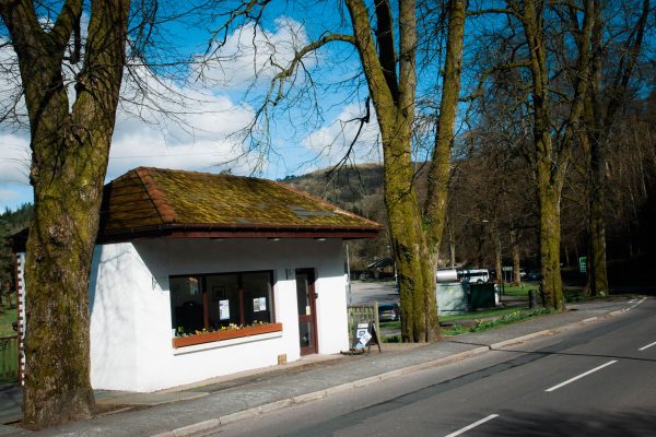
Walking boots are advised as the terrain includes open hills and tracks. Cross the bridge over the Ewes Water (which you can see from the car park) and continue along the road, soon forking left.
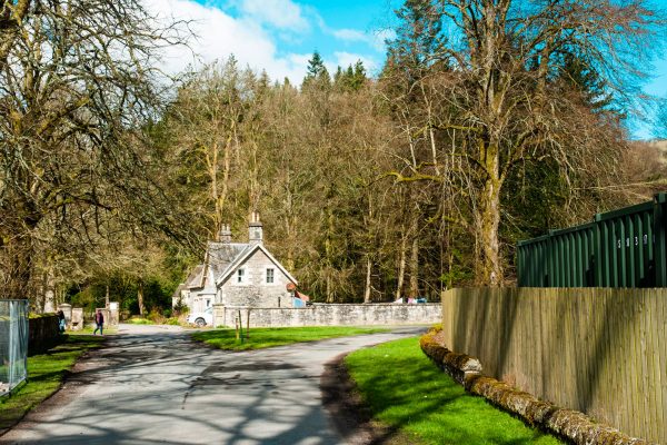
On the left is the site of Langholm Castle, of which little real trace now remains, and also the site of the annual Langholm Agricultural Show, held in September and a grand spectacle. You are on the Duchess’s Walk, and soon at Langholm Lodge.
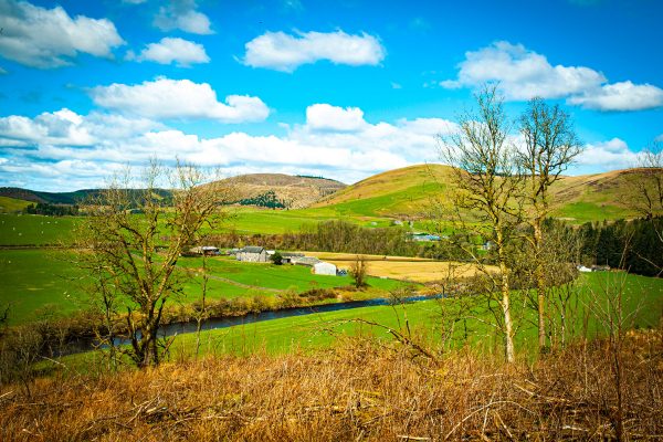
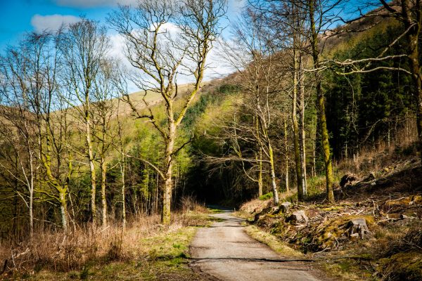
Keep right and continue on the road up to Holmhead and on to the North Lodge. Continue north through the woods for 1 km, with the Esk below and Potholm Farm visible ahead. Fork left down to the farm, keep right of the house, and at a T-junction, turn sharp right on a track that climbs steadily. Turn left with this track then right over a stile at a gate onto open ground to start the climb onto Wrae Hass. A quad bike track offers a convenient route close to the fence. Some of this ground can be boggy.
On reaching the ridge, turn right over a stile and walk uphill to another stile. Wrae Hass is old Norse for a corner of good land on a pass”.
Continue steadily uphill, still following a quad bike track with the remains of a stone dyke on your right, to reach the summit of Potholm Hill at 310m/1020ft. The view from here, particularly back across Ewesdale, is splendid. It is said that if you know where to look, you can see no fewer than 18 ancient forts or settlements from this site.
At a dyke junction, go straight on to continue with a sturdy dyke now on our left. Continue to where the dyke turns sharply left, and go straight ahead/ keeping to the ridge on a faint path, to the summit of Castle Hill. Many other nearby hills are clearly visible, with the monument on Whita Hill across the valley standing proud.
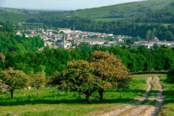
As you start to descend through scattered thorn trees, a wonderful view of Langholm opens out. This is the area where you may find cattle. Walk quietly and steadily and they will move away from you. Reach a rough track and follow it downhill. It curves left and reaches a gate with a ladder stile.
After this, the track improves and soon becomes a road passing Pathhead and winding downhill. Rejoin the outward route and turn left over the Ewes Bridge, back to the car park.
Note: There are likely to be cattle and sheep on the open hill section, with calves/lambs in the spring period. Please do not take dogs on this walk between March and May. At other times, dogs must be kept on a lead.
Please remember!
Leave gates as you find them – Keep dogs under close control at all times – Keep to paths across farmland – Take care on country roads
Use gates and stiles to cross fences, hedges, and walls – Respect farm livestock, crops, and machinery – Take your litter home with you.
Protect wildlife, plants and trees – Guard against the risk of fire – Make no unnecessary noise.

There is a guide to our walks in the format of a plastic folder containing details of our 14 way marked walks.
Each walk has an A4 OS map with details of the walk on the other side.
The pack can be obtained by post from The Langholm Walks Group, Ardlui, 63 Henry Street, Langholm, DG13 0ES. The cost is £5 plus £2.30 for postage and packing for the set of walks. Langholm Walks Group can be contacted by tel; 013873 80715 or by email at langholmwalks@gmail.com

