Arkleton
A genuine hill walk with some rough, wet and slow going. The compensation comes in superb views.
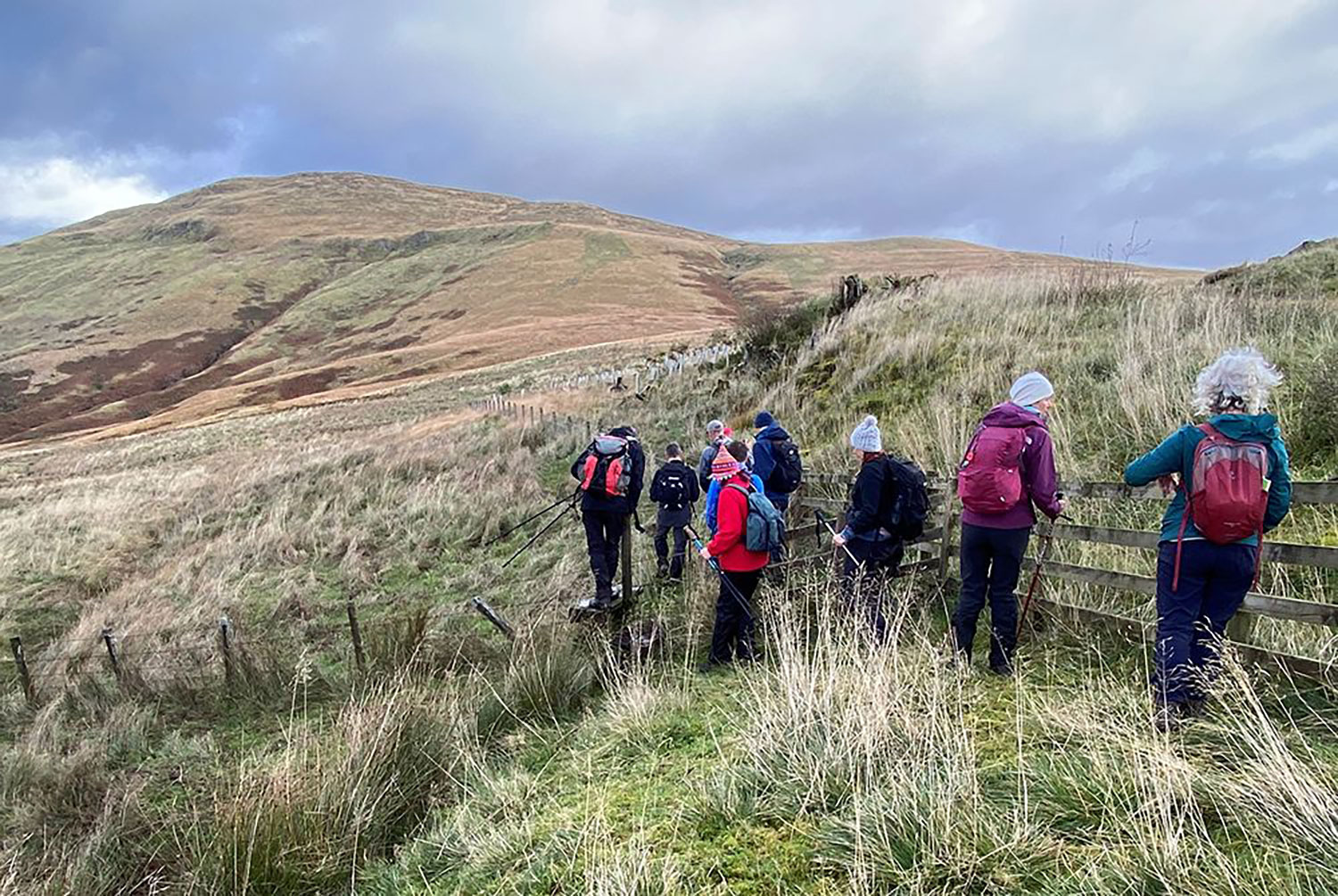
Walk 6 : Ackleton
Road, tracks, and open hills. Boots and full hill walking gear essential including OS Map 79 and compass.
9km/5.5 miles distance
Maximum height: 520 mtrs
Allow 2.5/3 Hours
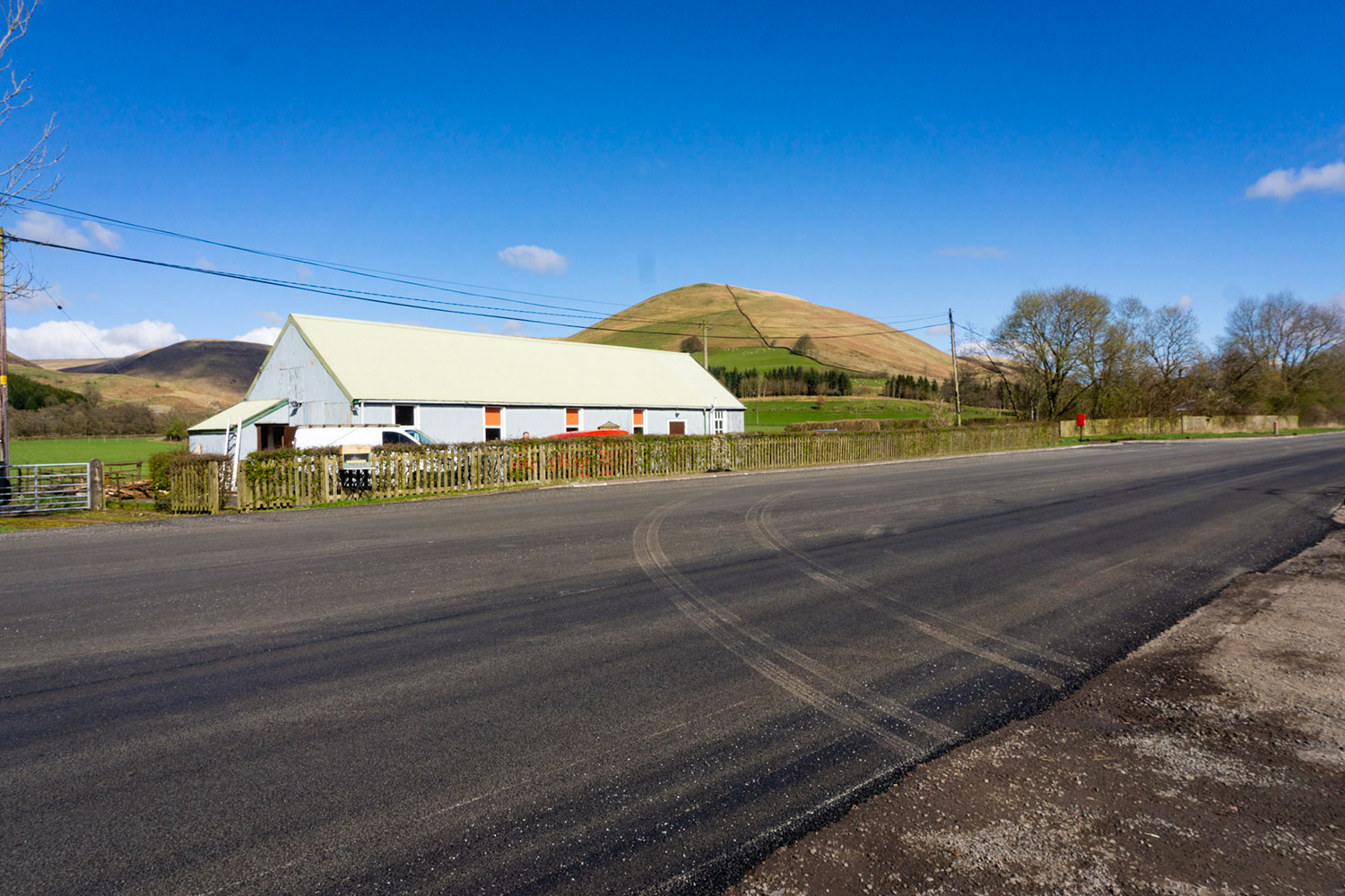
Starting point: This walk starts at Ewes Hall 5 miles north of Langholm.
Walk 1: Becks and Gaskells
Walk 2: Langfauld and Potholm
Walk 3: Duchess Bridge & North Lodge
Walk 4 : Potholm & Castle Hill
Walk 5: Warb Law
Walk 6: Arkleton
Walk 7: Jenny Noble’s Gill
Walk 8: Target Burn and Whita Hill
Walk 9: Calfield Rig and Mid Hill
Walk 10: Tarras Water and Whita Hill
Walk 11: Old Irvine
Walk 12: Canonbie
Walk 13: Moorland Walk
Walk 14: Meikledale
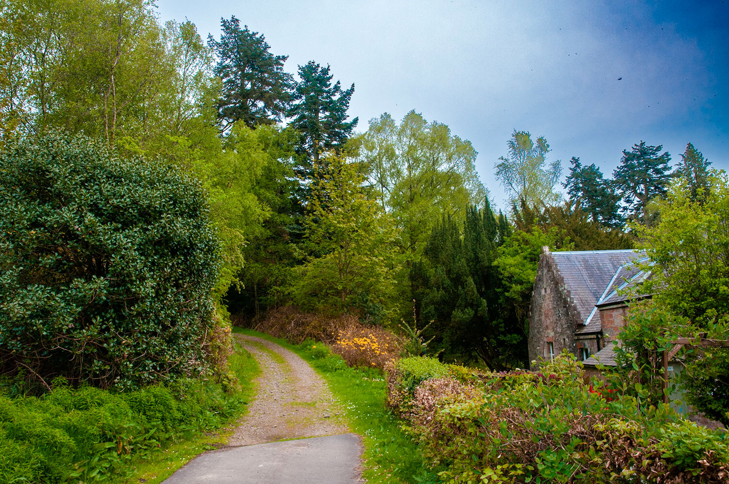
From the car park walk (carefully) straight across the A7 and along a narrow track towards Sandyhaugh, the Ewes water. Cross the river on the same track over a newish bridge and follow the track to Arkleton farm.
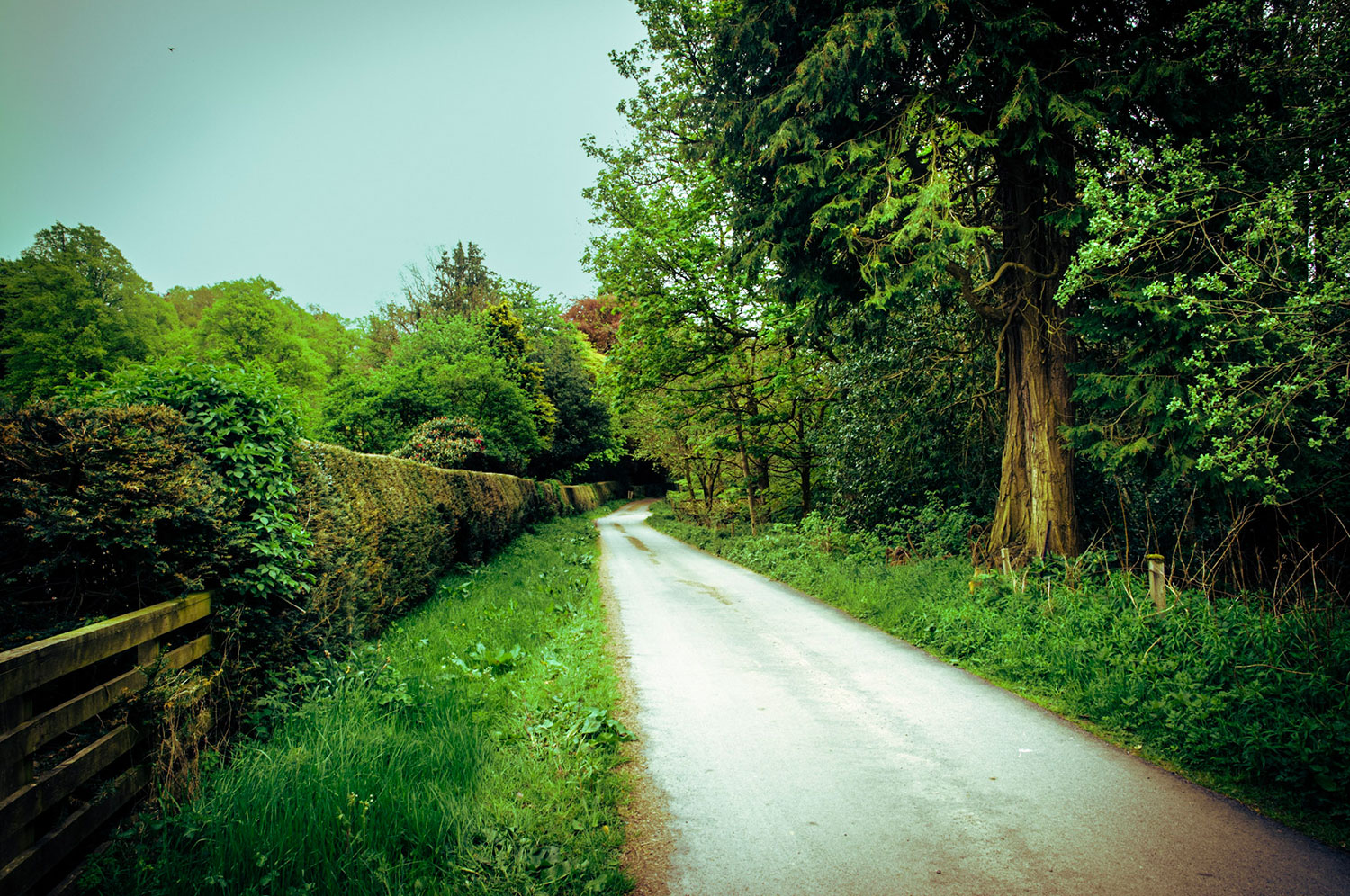
Walk through the farm yard and turn left onto a clear track that passes a cottage on the left side and gradually start climbing up the hill. Continue with the track climbing steadily, and at a fork keep right.
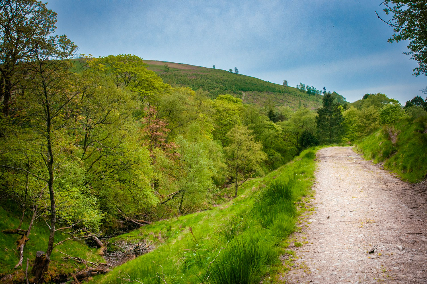
Before long the track crosses a small burn. Continue climbing with the track through the open countryside where in season you will see (and hear) curlew, skylarks, and buzzards among other birds.
Arkleton Hill, your main objective is visible up to the left. Pass a shelterbelt on the right, go through a gate, and continue, ignoring a track going right. Reach the forest (recently planted) at the highest point of the track – but do not enter it. Instead, go left over the stile and follow the forest fence down and then up to the right. This is the start of the rough, pathless ground.
Don’t hurry, accept that it will be slow going and take your time. The ground is tussock grass, heather and some bog. Go right again with the fence and follow it over the head of Arkleton Burn. At the next corner, leave the forest fence and walk ahead to where you see old fence posts. Turn left along the line of the old fence up to a fence/dyke junction. Turn left here again and follow the fence upwards.
There is a great view back to Whita Hill and the Tarras Valley, and for a while there is a faint path, making for slightly easier going. Bend left with the fence. and continue climbing onto Arkleton Hill. This area is marked on some maps as Under Nick, one of many evocative hill names in the vicinity. The view back now extends to the Solway Firth – but the path has vanished again!
The fence kinks right and left and starts its final climb on short, pathless heather and grass dotted in summer with beautiful little white flowers and bog cotton. Hollows to the left are marked on the map as White Cove and Black Cove. Leave the fence at the next bend and cut across to a prominent caim ahead which commands a superb view of Ewesdale. Although the ground is still rough, you can console yourself with the knowledge that it is all downhill from here. At 520m (1705ft), this is the highest point on your walk.
When you are ready to leave, continue in the same direction to pick up the fence again and follow it downhill. The hillside is littered with small crags and glacial erratics – huge boulders left behind by the retreating ice at the end of the last Ice Age, 10,000 years ago.
The descent becomes steep and care is needed. Take it steadily and don’t rush. for it would be easy to slip. You can see the return track below to the left, and above it is Arkleton Lochan. Note also that the fence is now electrified, so don’t get too close to it. This hill area is known as Strait Knowes.
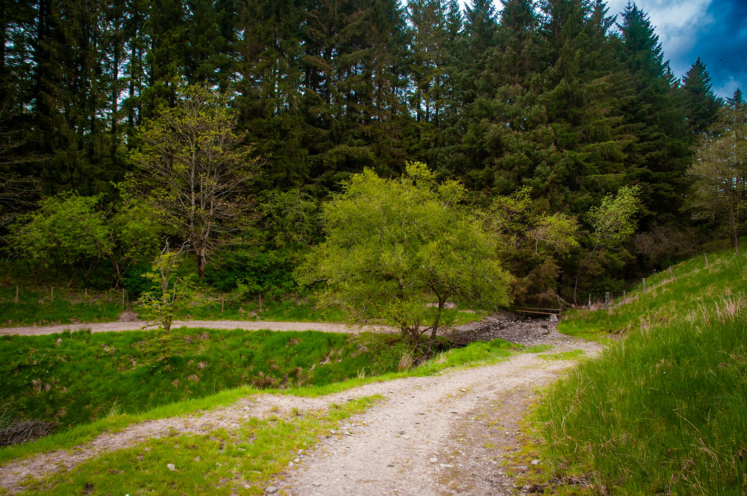
After a final very steep section, the ground flattens out at the point where the fence becomes a dyke. Go over the stile and pick up a small path heading half- left. It makes in a determined manner for the track, which you can always see. Up to the left you have a good view of Arkleton Craigs.
Pass the end of a drainage ditch but don’t follow it. Keep with the path past a large round sheep fold, and cross a ditch to reach the track. Turn left and wander easily down the track, which gives grand walking with the burn known as the Birren Sike to the right. The track descends to cross Heugh’s Cleuch by a bridge and swings right, with some fine old trees now close by. Next, cross the Arkleton Burn and then face a short climb – tough at this late stage of the walk – to a gate. Follow the track through Arkleton Farm and follow the outbound track to Sandyhaugh and Ewes Hall.
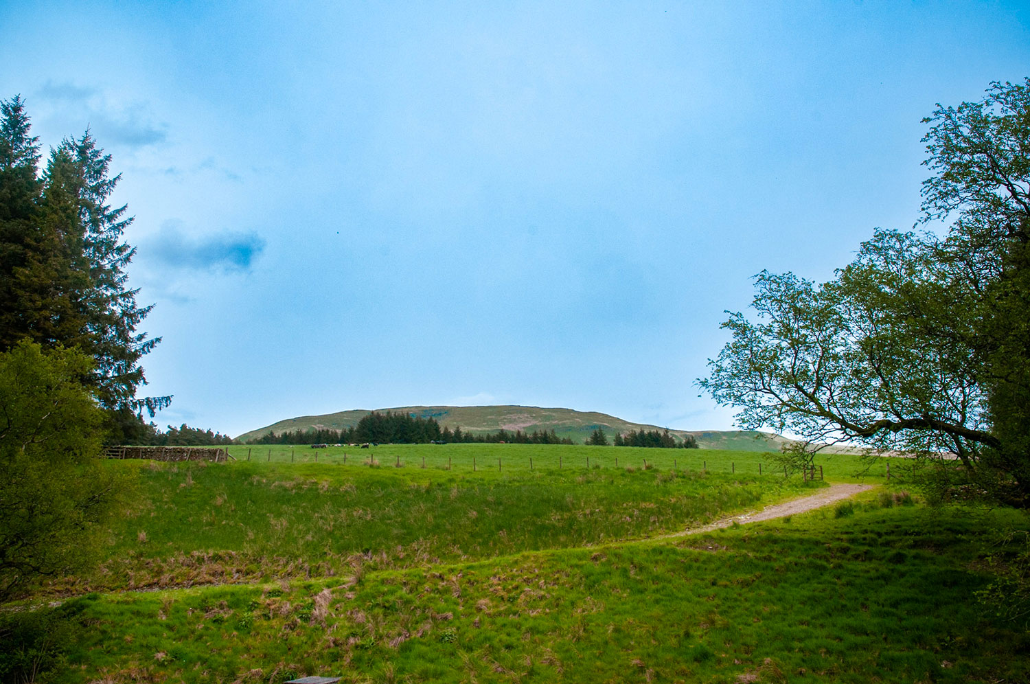
Note: There are likely to be cattle and sheep on the open hill section, with calves/lambs in the spring period. Please do not take dogs on this walk between March and May. At other times, dogs must be kept on a lead.


Please remember!
Leave gates as you find them – Keep dogs under close control at all times – Keep to paths across farmland – Take care on country roads
Use gates and stiles to cross fences, hedges, and walls – Respect farm livestock, crops, and machinery – Take your litter home with you.
Protect wildlife, plants and trees – Guard against the risk of fire – Make no unnecessary noise.
There is a guide to our walks in the format of a plastic folder containing details of our 14 way marked walks.
Each walk has an A4 OS map with details of the walk on the other side.
The pack can be obtained by post from The Langholm Walks Group, Ardlui, 63 Henry Street, Langholm, DG13 0ES. The cost is £5 plus £2.30 for postage and packing for the set of walks. Langholm Walks Group can be contacted by tel; 013873 80715 or by email at langholmwalks@gmail.com