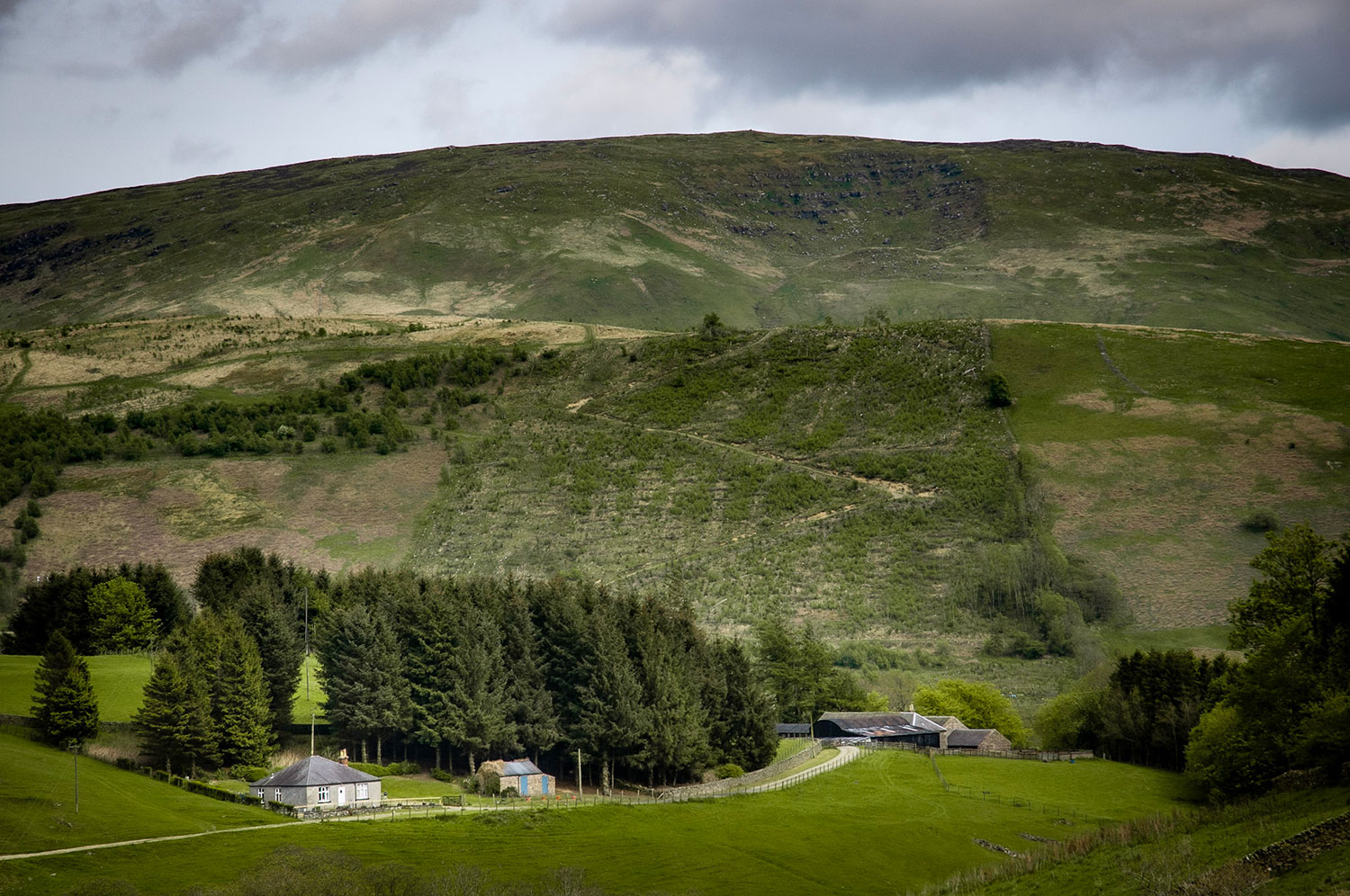
Meikledale
The central section is open hillside, rough, pathless and often wet and is slow going. Superb views in all directions are the reward. Can be tricky in mist.
Walk 14: Meikledale
Road, tracks, and open hills. Boots and full hill walking gear essential including OS Map 79 and compass.
Option 1: 11km/7 miles distance.
Option 2: 14km/9 miles distance
Option 2: 14km/9 miles distance
Option 1: Maximum height: 492 mtrs
Option 2: Maximum height: 526 mtrs
Option 2: Maximum height: 526 mtrs
Allow 3 Hours (Option 1)
Allow 4 Hours (Option 2)
Allow 4 Hours (Option 2)
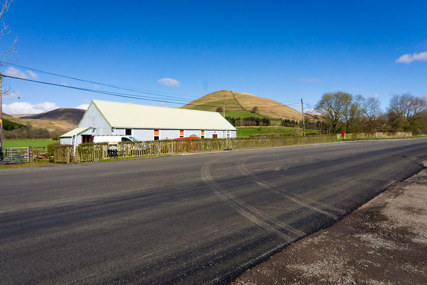
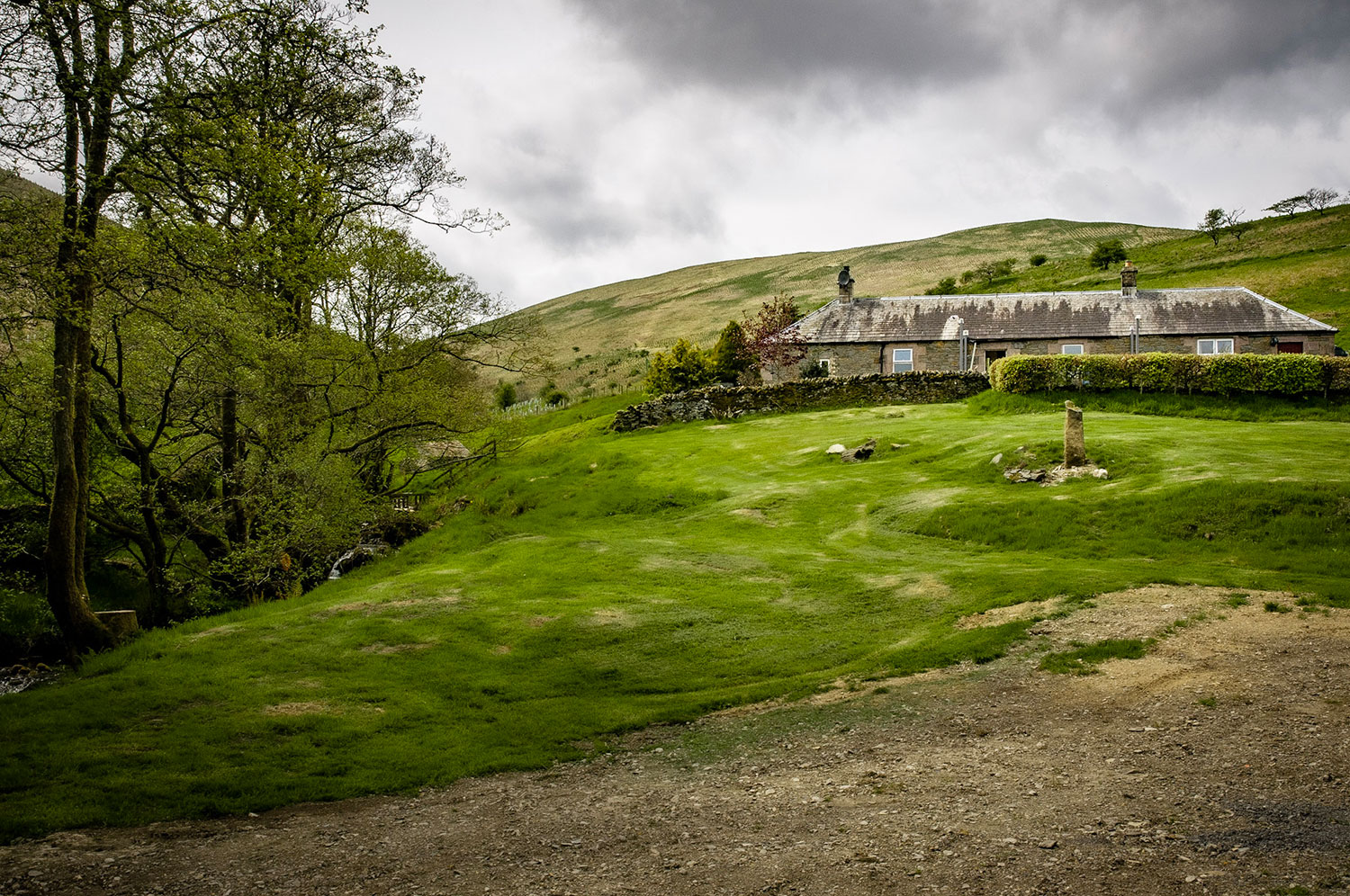
Starting point: This walk starts at Ewes Hall 4 miles north of Langholm.
Walk 1: Becks and Gaskells
Walk 2: Langfauld and Potholm
Walk 3: Duchess Bridge & North Lodge
Walk 4 : Potholm & Castle Hill
Walk 5: Warb Law
Walk 6: Arkleton
Walk 7: Jenny Noble’s Gill
Walk 8: Target Burn and Whita Hill
Walk 9: Calfield Rig and Mid Hill
Walk 10: Tarras Water and Whita Hill
Walk 11: Old Irvine
Walk 12: Canonbie
Walk 13: Moorland Walk
Walk 14: Meikledale
Options 1 & 2
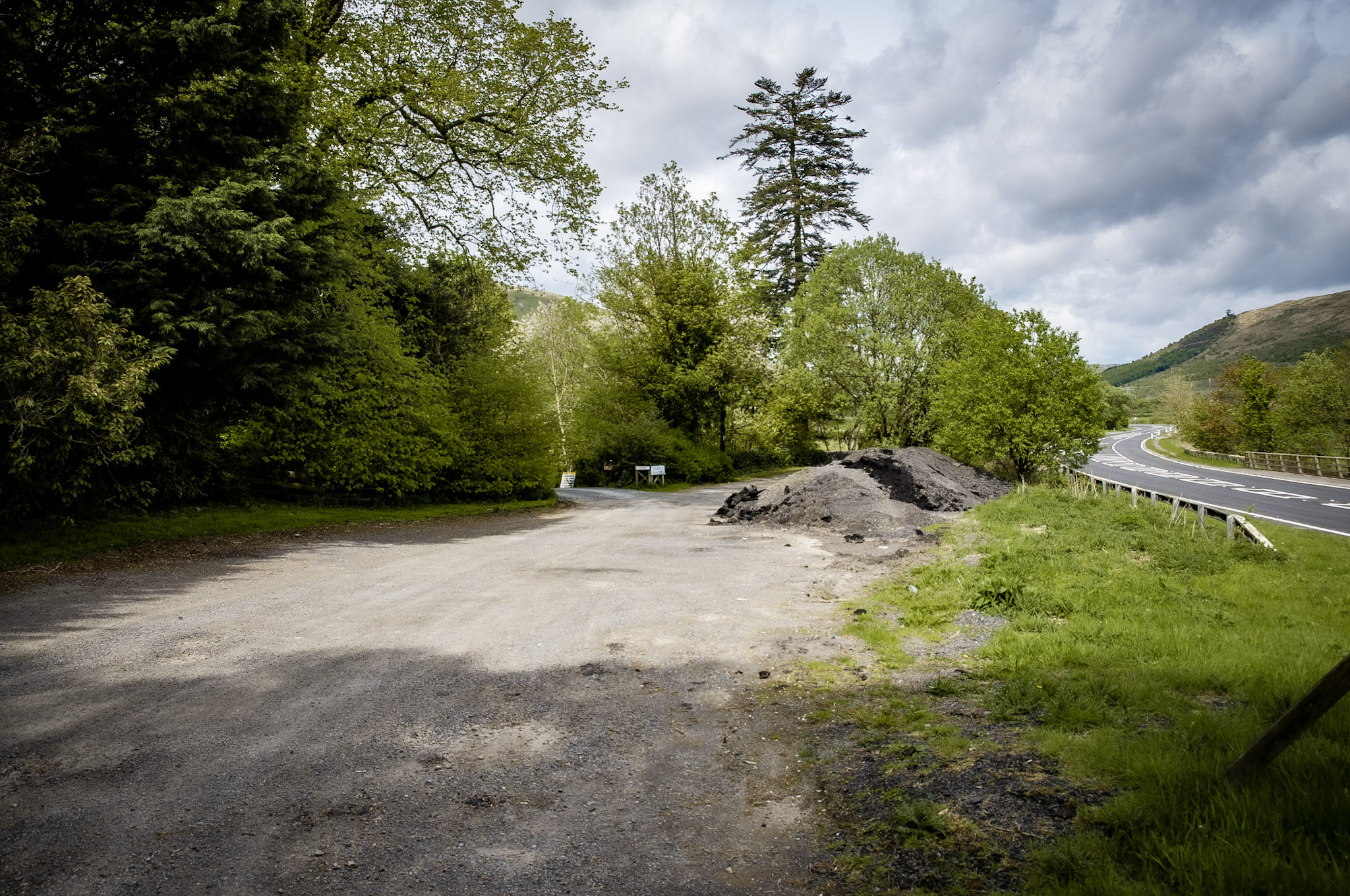
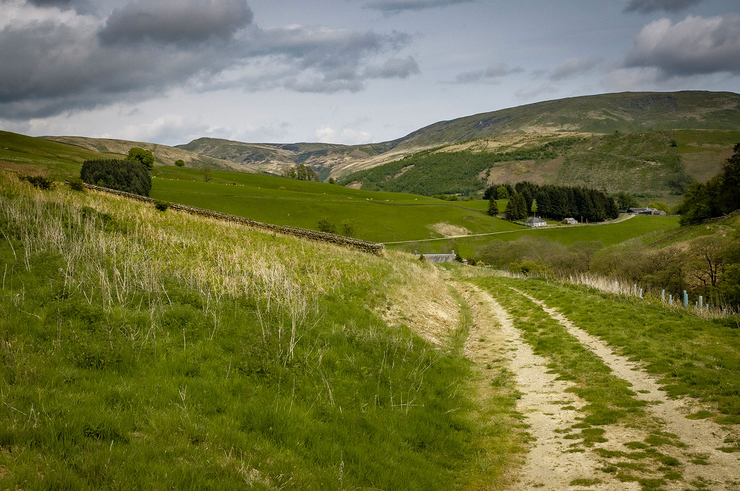
From the car park walk carefully S. down the W. verge of the A7 for approx. 150m. Turn right through a gate signed Burngrains. Follow this track up the W. side of the Meikledale Burn past Bush Cottage to Rigfoot. Immediately past Rigfoot turn L. and follow the track W. up Wolf Hope. This track follows the N. bank of Wolfhope Burn for approx. 2km, eventually petering out as the burn heads N.W. Continue to follow the burn to its head then walk N.W. to hit the boundary fence at Wolfhope Head after crossing one other fence.
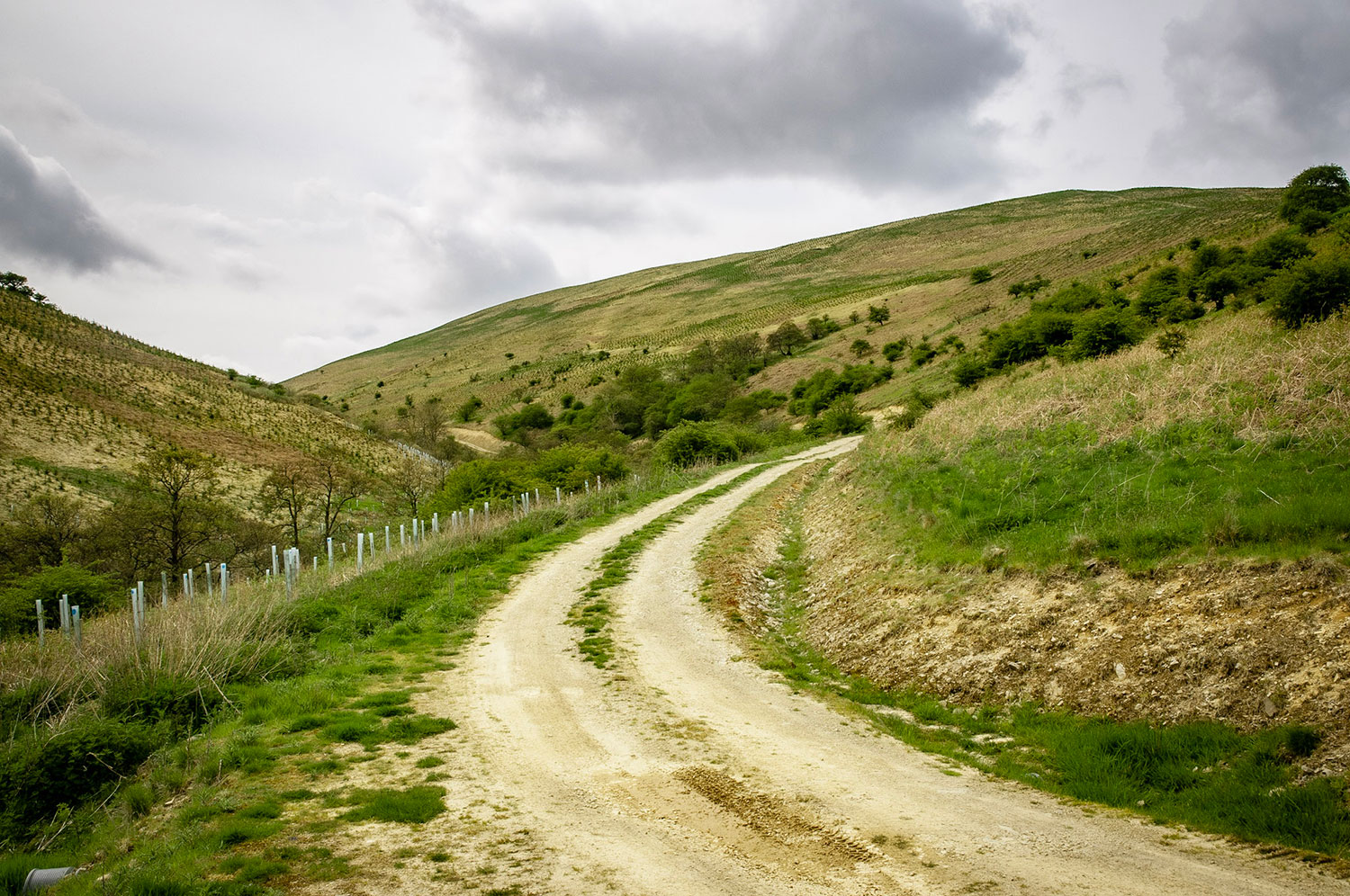
Turn R. at the fence and keep the fence on your left. The route can be wet and difficult underfoot. The occasional quad bike track is useful. The first climb to Broad Head is followed by a downhill to cross the forestry track at 342 947.
At this point the shorter Option 1. can be followed.
Option 1
Turn R. down the forest track and follow this down Jock’s Hope Burn (with occasional diversions up side valleys) to Burngrains. From Burngrains follow the track down the W. side of Meikledale Burn to Rigfoot. From Rigfoot, follow the original section of the walk in reverse.
Option 2 (continued)
Continue along the ridge with the fence on your L. climbing Middle Hill (494m) and Blackgrain Height (496m). At Blackgrain Height pass through a gate at a fence junction, turn L. and continue with the fence still on the L. to Swingill Height (492m) and Faw Side (526m). Superb views in all directions.
Approx 100m past the top of Faw Side note a marker post and head to the R. roughly E, to join St. Martin’s Sike. Follow the ridge S.E. down the N. side of St. Martin’s Sike towards its junction with the Meikledale Burn (keep some way up the slope above the Sike).
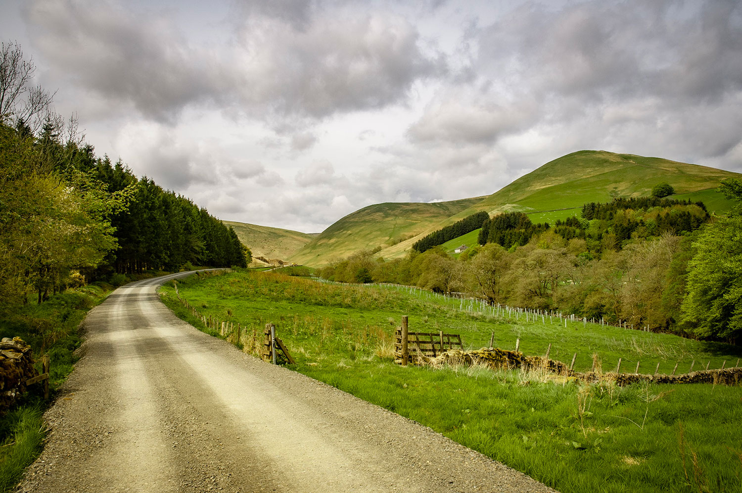
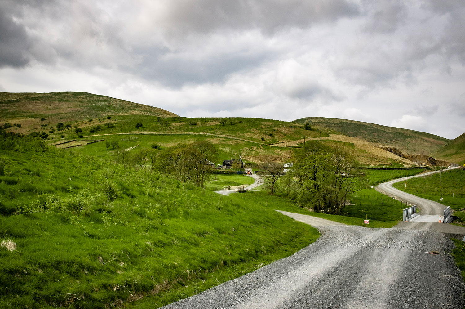
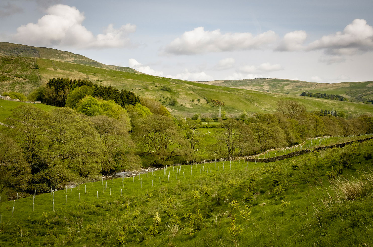
Cross the Meikledale Burn just above its junction with the Sike. Follow the track S. on the E. side of the Meikledale Burn. This is a gentle walk on reasonable track down the beautiful Meikledale Valley. Pass Swingill, Burngrains, Rigfoot (all on the other side of the burn) until Meikledale Cottage just on the L. of the track comes into view (374 931). Turn R. through a gate into the field and head down towards the Burn. The path passes through gates keeping to the E. of the Meikledale Burn, eventually heading to Ewes Hall. The Grey Wether marked on the map in the field to your left is a fallen standing stone (not a well/spring as marked on the OS). Through a gate into the Ewes Hall Car Park.


Please remember!
Leave gates as you find them – Keep dogs under close control at all times – Keep to paths across farmland – Take care on country roads
Use gates and stiles to cross fences, hedges, and walls – Respect farm livestock, crops, and machinery – Take your litter home with you.
Protect wildlife, plants and trees – Guard against the risk of fire – Make no unnecessary noise.
There is a guide to our walks in the format of a plastic folder containing details of our 14 way marked walks.
Each walk has an A4 OS map with details of the walk on the other side.
The pack can be obtained by post from The Langholm Walks Group, Ardlui, 63 Henry Street, Langholm, DG13 0ES. The cost is £5 plus £2.30 for postage and packing for the set of walks. Langholm Walks Group can be contacted by tel; 013873 80715 or by email at langholmwalks@gmail.com