Moorland Walk - Hogg Fell & Tarras Water
The walk explores the distinctive moorland landscape of The Langholm and Newcastleton Hills.
Walk 13: Moorland Walk – Hogg Fell & Tarras Water
Starting point: The walk starts from the MacDiarmid Memorial, Langholm DG13 0LW
Walk 1: Becks and Gaskells
Walk 2: Langfauld and Potholm
Walk 3: Duchess Bridge & North Lodge
Walk 4 : Potholm & Castle Hill
Walk 5: Warb Law
Walk 6: Arkleton
Walk 7: Jenny Noble’s Gill
Walk 8: Target Burn and Whita Hill
Walk 9: Calfield Rig and Mid Hill
Walk 10: Tarras Water and Whita Hill
Walk 11: Old Irvine
Walk 12: Canonbie
Walk 13: Moorland Walk
Walk 14: Meikledale
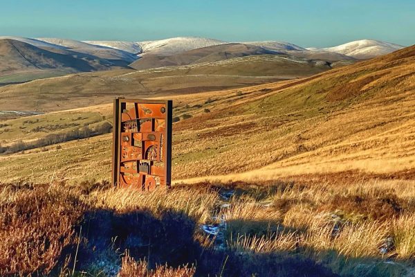
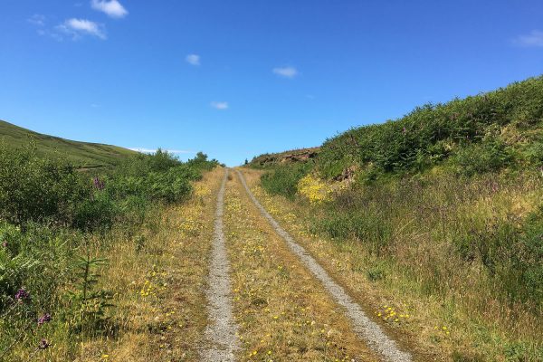
The walk starts from the MacDiarmid Memorial parking area on the Langholm and Newcastleton Hills. From Langholm take the A7 north and follow signs for the MacDiarmid Memorial. From the parking area follow the road east towards the cattle grid. Turn left before the cattle grid through the kissing gate. Follow the dyke, keeping on the left side, along the ridge onto Tarras Hill and Muckle Knowe enjoying the spectacular views up the Ewes Valley.
The dyke and fence that you are following along the ridge marks the western boundary of The Langholm and Newcastleton Hills. These Hills are one of the few remaining large areas of moorland in southern Scotland.
Continue along the ridge following the dyke. Cross over the stile at the dyke junction and continue to follow the dyke on your right along the ridge and onto Hogg Fell. The summit of Hogg Fell at 371m (1217ft) is marked by a triangulation point and commands superb panoramic views of the surrounding moorland.
Descend from Hogg Fell following the dyke on your right. At the field, corner follow the dyke left until reaching a stile at the southern edge of a shelterbelt. The field corner is often very wet and can be avoided in clear conditions by bearing left towards the shelterbelt when it comes into view. Cross over the stile and after a short climb of approximately 100m turns right onto a wide track. Follow the track through the gate after which care is necessary, as the track becomes a narrow path that can be difficult to follow in poor conditions.
Continue along the path bearing left towards a large area of recently replanted forest. At the path junction shortly before reaching the forest turn left. Enter the forest through the gate and continue approximately 100m to a wide track. Turn right onto the track and follow the track down to the road. Look out for feral goats that often shelter in the forest.
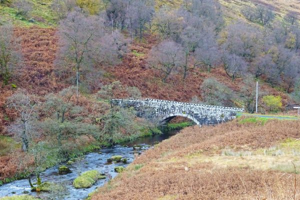
At the end of the forest,track cross the bridge over Tarras Water, go through the gate, and turn right onto the road. Walk along this long but quiet stretch of road.
Before reaching the Langholm to Newcastleton road you will find a parking area and picnic tables. This is an ideal spot to enjoy a picnic and experience the peace and tranquillity of this special place.
Pass the picnic area on your right and at the T-junction turn right onto the Langholm to Newcastleton road. Follow the road uphill and then turn left onto the track towards Middlemoss. Continue along the track turning right just before the gate that crosses the track. Go through the kissing gate and continue through the field following the dyke on your left. At the field corner go through a second kissing gate and continue through the field with the dyke on your left until joining a track. Follow the track through the gate. At the end of the dyke bear right on the track that is narrowing to a more uneven path and continue downhill into the Little Tarras valley.
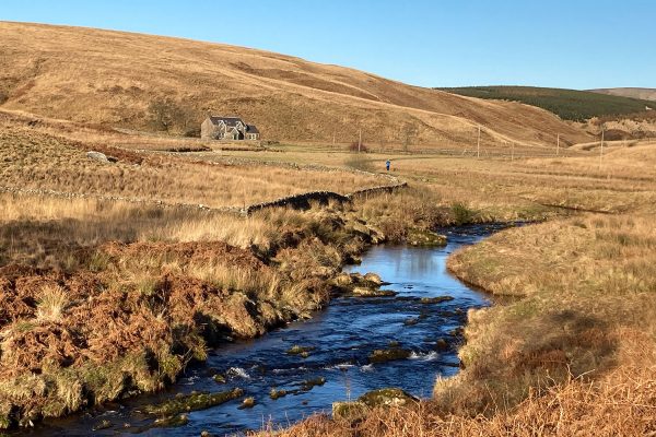
A stone sheepfold can be seen in a sheltered location next to Little Tarras Water. The sheepfold is largely intact and has a simple, circular design.
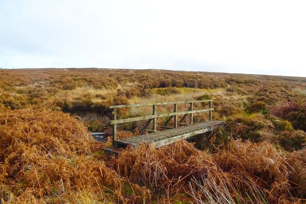
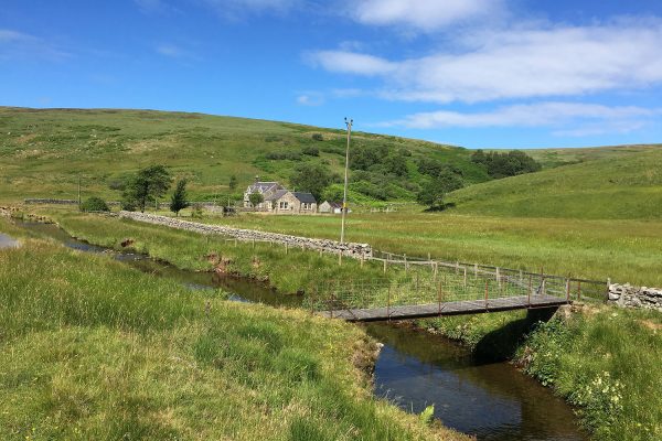
Cross Little Tarras at the footbridge and continue uphill to rejoin the Langholm to Newcastleton Road. Turn left at the road and continue around the cattle grid and back to the MacDiarmid Memorial parking area.
During the breeding season of Ground Nesting Birds and in particular, the Hen Harrier the section of this walk over Little Tarras may be closed so as an alternative just use the Langholm to Newcastleton road that crosses the moor for your return to the starting point.
Important Information: The Moorland Walk crosses into an area designated as a Site of Special Scientific Interest (SSSI) and Special Protection Area (SPA) for breeding hen harriers. Please respect any notices of temporary closures or diversions that may be necessary due to the sensitive nature of the area. Please avoid walking the southern section of the walk from April to July to prevent disturbance of ground-nesting birds.
This section of the walk can be easily avoided by returning from the Tarras Valley to the parking area along the Langholm to Newcastleton Road. The ridge section of the walk is exposed, pathless, rough, and often wet. Waterproof clothing and boots are strongly advised.
There may be cattle and sheep on the open hill sections of the walk.
Dogs must be kept on a lead at all times, especially during lambing season.
Please remember!
Leave gates as you find them – Keep dogs under close control at all times – Keep to paths across farmland – Take care on country roads
Use gates and stiles to cross fences, hedges, and walls – Respect farm livestock, crops, and machinery – Take your litter home with you.
Protect wildlife, plants and trees – Guard against the risk of fire – Make no unnecessary noise.

There is a guide to our walks in the format of a plastic folder containing details of our 14 way marked walks.
Each walk has an A4 OS map with details of the walk on the other side.
The pack can be obtained by post from The Langholm Walks Group, Ardlui, 63 Henry Street, Langholm, DG13 0ES. The cost is £5 plus £2.30 for postage and packing for the set of walks. Langholm Walks Group can be contacted by tel; 013873 80715 or by email at langholmwalks@gmail.com

