Jenny Noble's Gill
This is a pleasantly varied gentle figure of eight walk that starts and finishes through the length of the town and then passes along the hillside through fields and woods
Walk 7: Jenny Noble’s Gill
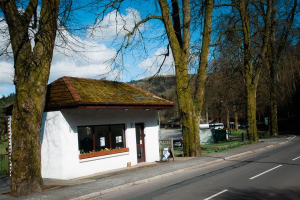
Starting point : The Kilngreen Car Park.
Walk 1: Becks and Gaskells
Walk 2: Langfauld and Potholm
Walk 3: Duchess Bridge & North Lodge
Walk 4 : Potholm & Castle Hill
Walk 5: Warb Law
Walk 6: Arkleton
Walk 7: Jenny Noble’s Gill
Walk 8: Target Burn and Whita Hill
Walk 9: Calfield Rig and Mid Hill
Walk 10: Tarras Water and Whita Hill
Walk 11: Old Irvine
Walk 12: Canonbie
Walk 13: Moorland Walk
Walk 14: Meikledale

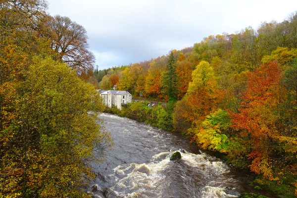
From the car park, walk towards the town centre and turn right over the road bridge across the Esk. Take the first left (Elizabeth Street), go right at the end and then left over the footbridge into Buccleuch Park. Cross the park, heading towards the River Esk on your left. At the end of the open area, take the riverside path at the foot of the hill, with the river rushing by below.
The path becomes a little rougher and crosses a lightly wooded area. Turn left on a broad track. Follow this track past Murtholm, still close to the river, and out to the Skippers Bridge on the A7 road.
Turn left, across the bridge, cross the road (with great care) and take the Penton road. In about 30 metres, go left up the sign-posted path.
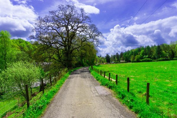
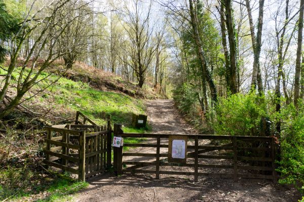
Steep at first, it eases to a fine curving path on a rising bank and soon reaches the old railway line. Turn right along the trackbed for 400 metres of easy walking under a canopy of mature trees. At a fence, go through a kissing gate on the left and take the path rising to the left. After a steady climb it brings you out near the Round House. This, however, is visited on the return leg. For now, turn right on the broad track. Follow the track, firstly through trees, then with open hill on the left, through several gates and across fields to Broomholmshiels Farm. Walk out to the road and turn right.
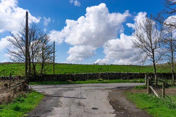
The road drops down to a junction. Turn right again here to start the walk back to Langholm. Wander along this road, which connects Langholm with Penton, round several bends and past until, about 800 metres after the junction, you see a waymark on the right at a Buccleuch Estates sign saying ‘Jenny Noble’s Gill’. Take the path leading up the gill.
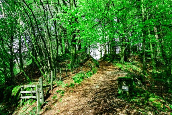
The path climbs steadily and bends right alongside a field edge, with the wooded gill below to the right. The small valley is said to be named after an old lady who is reputed to have committed suicide by hanging herself. It is now a very pleasant walk much favoured by local people. The path reaches the line of the old railway, with two ladder stiles. The first is defunct but the second has to be crossed to continue up the path through more fine mixed woodland.
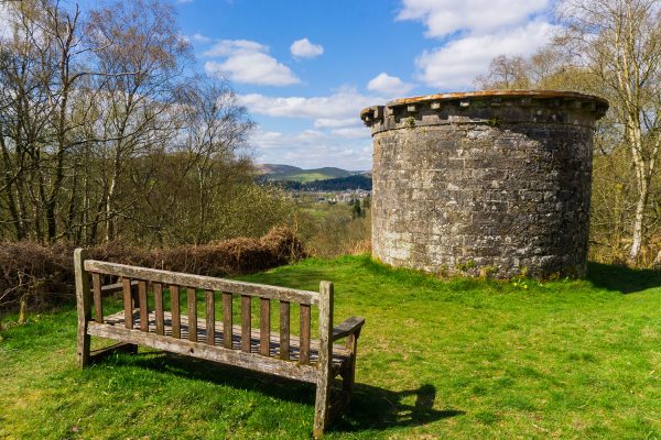
At, the top of the path, you join the track used for the outward route. Turn left and retrace your steps back to the Round House. A path leads up to this squat stone tower, where a seat gives an excellent view down over Langholm. Return to the track and continue through the woods towards the town.
The track reaches houses and becomes a tarmac road (Hall Path). Keep on this road as it drops to meet the At. You can either simply walk back through the town centre to the car park or alternatively, take the first left (Townfoot) and turn right and left into Waverley Road to reach the riverside path, Turn right and walk along the riverside back to the road bridge over the Esk, Where you must rejoin the A7 for a short distance to Kilngreen. This final section from Townfoot is not way marked but is easy to follow.
Please remember!
Leave gates as you find them – Keep dogs under close control at all times – Keep to paths across farmland – Take care on country roads
Use gates and stiles to cross fences, hedges, and walls – Respect farm livestock, crops, and machinery – Take your litter home with you.
Protect wildlife, plants and trees – Guard against the risk of fire – Make no unnecessary noise.

There is a guide to our walks in the format of a plastic folder containing details of our 14 way marked walks.
Each walk has an A4 OS map with details of the walk on the other side.
The pack can be obtained by post from The Langholm Walks Group, Ardlui, 63 Henry Street, Langholm, DG13 0ES. The cost is £5 plus £2.30 for postage and packing for the set of walks. Langholm Walks Group can be contacted by tel; 013873 80715 or by email at langholmwalks@gmail.com

